The Great Black Swamp Under Toledo: Clay, Sand Ridges and Water
Toledo was built at the outlet of one of the largest wetlands in the Midwest. The swamp is long drained, but the clay that made it a swamp is still there, and it explains most of what happens to basements in the city.
The USDA rates 75% of Lucas County's soil acreage very limited for houses with basements and only about 1% not limited. A shallow saturated zone is a factor on 80% of rated acres, and shrink-swell on about half.
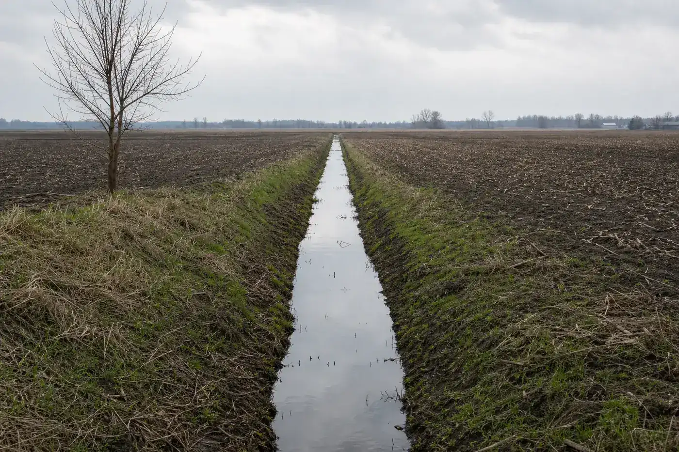
What was the Great Black Swamp?
The Library of Congress describes it as a large wetland covering a small part of northeast Indiana and a significant part of northwest Ohio, draining through the Maumee River into Lake Erie. Its maps of Lucas County and neighboring counties from 1888 show canals and ditches already cut across its outlet area, and the region was drained through the second half of the 1800s and into the early 1900s, much of it with buried drainage tile.
The clays left behind
USDA soil descriptions explain why the land was a swamp. Toledo and Latty soils formed in clayey sediments laid down in glacial lakes, and Hoytville in clayey till; all three are very poorly drained, with slow permeability. Their water tables reach from a foot above the surface to a foot below in normal years, from November to May for Toledo and January to April for Latty and Hoytville. Latty, Toledo and Hoytville together cover about a fifth of Lucas County's major soil acreage.
Sand ridges in the city
Not all of Toledo is clay. In a USDA soil-map sample around the city, the most common soils after urban land were Bixler and Dixboro, sandier lake-plain soils, and Bixler's reference site lies just west of Maumee. These drain better at the top, but USDA records still place their water table 6 inches to 2 feet down from late fall into spring, and Bixler's clayey phase holds perched water. A house on a sandy rise can still have wet walls when the clay beneath fills up.
How do Lucas County soils rate for basements?
Weighted by acreage, the county soil survey rates 75% very limited for dwellings with basements, 7% somewhat limited, 1% not limited and 17% not rated, mostly urban land. Depth to a saturated zone appears on 80% of rated acres, shrink-swell on 49% and ponding on 43%. The practical result is covered in basement waterproofing and bowing basement walls. Look up your own lot in the USDA Web Soil Survey.
Frost and footings
The Residential Code of Ohio requires footings to be protected from frost, most often by extending them below the frost line in its climate table, and says footings may not bear on frozen soil. We could not find Toledo's frost-line figure on an official page we were able to read, so ask the Division of Building Inspection before any new footing, porch or addition goes in.
Describe the basement problem
Water on the floor after a soaking rain, a block wall bulging in, a corner of an old house dropping: a sentence or two is enough. One independent foundation and waterproofing specialist who works in Toledo reads it.